One Green / Yellow / Red verdict the moment you open the app — built from live wind speed and gusts, current weather, and active NOAA advisories. Right below it: tides, sunrise, water quality, a community map of launches and hazards, and the paddling rules for your state.
Informational only — verify with NOAA / Coast Guard before going on the water.
The information you actually need before getting on the water — no vessel reports, no commercial-fishery noise, no eight-tab workflow.
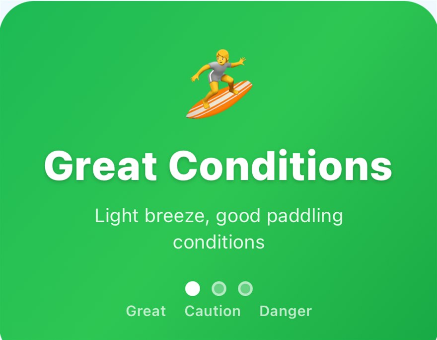
One verdict, the moment you open the app — Great Conditions, Use Caution, or Dangerous. Built from live wind speed and gusts, current weather, and active NOAA advisories — and honest about what it can't tell you.
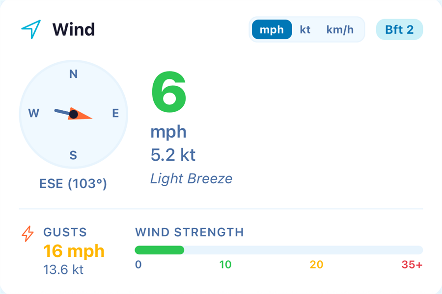
Switch between mph, knots, and km/h; compass heading, Beaufort number, and a 3-day paddle forecast so you can plan around the weather window (Pro extends it to 7 days).
NOAA tide predictions for the nearest US coastal station. Know your launch window before you load the kayak.
Community-built map of put-ins with aerial views, amenity badges, and one-tap directions. See the ramp before you drive an hour.
Community-submitted dams, strainers, and dangerous currents on the map. Unverified by PaddleReady — always check yourself.
Federal PFD / whistle / VDS requirements plus state-specific rules for 30 states. GPS-aware lookup, no login, no paywall.

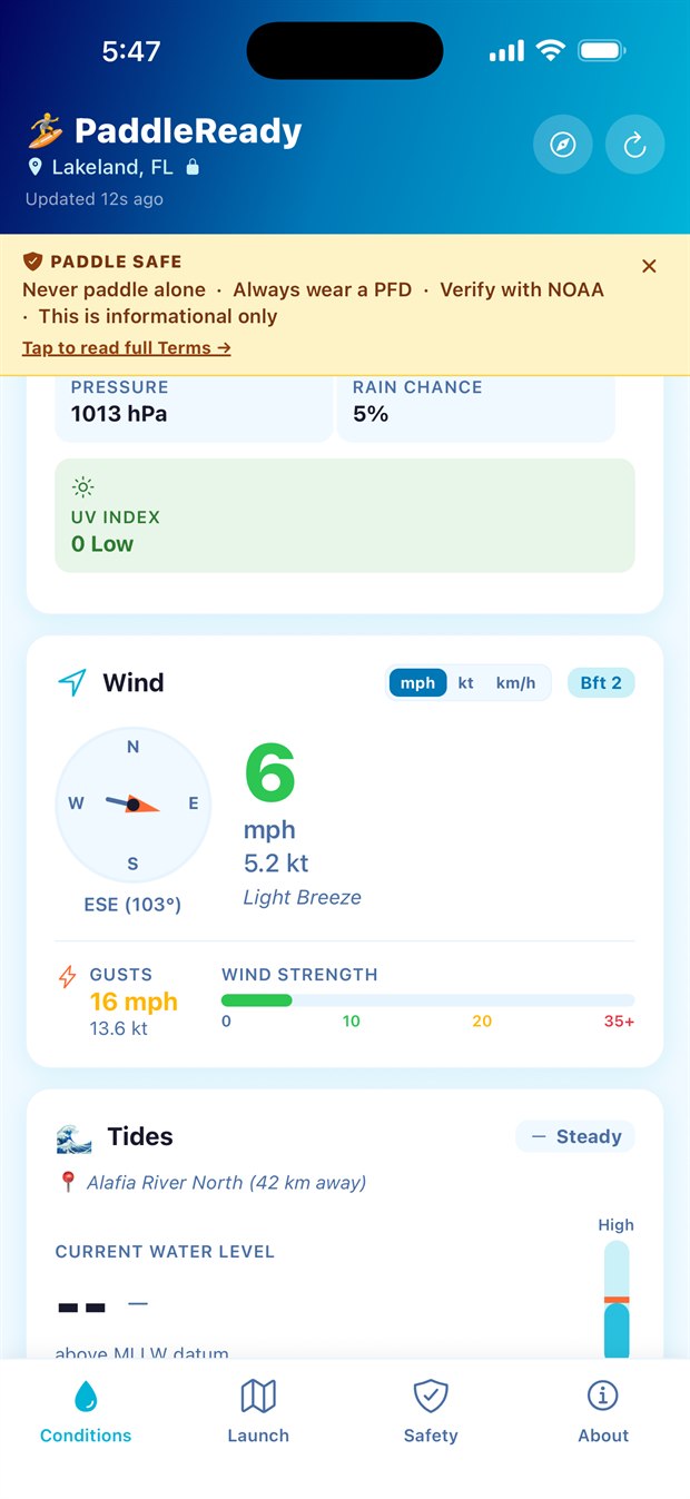
Four tabs — Conditions, Launch, Safety, About — and no account required to use any of them. Signing in is only for posting.
PaddleReady detects your location and pulls live conditions from Open-Meteo, NOAA, USGS, and OpenStreetMap.
Green is Great Conditions, Yellow is Use Caution, Red says stay ashore. Tap the badge for an honest explanation of what the score is — and what it can't tell you.
Open the Launch tab for the community-built map of put-ins, with satellite view, amenities, hazard pins, and reviews. Tap for directions.
Every launch point shows a satellite aerial view, amenity badges (parking, restrooms, potable water), paddler reviews, and one-tap directions.

For the paddler who's on the water often enough to want offline mode and the extended forecast. The free tier stays fully functional — it's supported by a single non-personalized banner ad on the Home and Launch Points screens, and Pro removes all ads.
Trip Check-In — a planned-trip reminder with a single overdue alert to a trip contact — is coming soon; we're running a full beta of its alert email before it ships. The free tier gives you the full conditions dashboard, the launch map, and the regulations screen, supported by non-personalized banner ads — Pro is for the extras above, with no ads at all.
PaddleReady Pro — $3.99/month or $29.99/year. The annual plan is the best value (Save ~37%) and includes a 7-day free trial.
Free 7-day trial on annual plan · upgrade in-appPaddleReady is out now on Google Play. The App Store release is on the way — drop your email and we'll send you the download link the day PaddleReady lands on iOS. One email, no spam, unsubscribe anytime.
We email you once, at launch. Your address is used only for the launch notice and is never sold. See our Privacy Policy.
Launch sponsorships, regional content partnerships, and gear bundles with brands aligned to our paddler-first, safety-first values.
See sponsorship options Paddle