No vessel reports, no commercial-fishery noise, no eight-tab workflow. PaddleReady answers one question fast — is today a paddle day? — and gives you the map and the rules to act on it. The free app is supported by a single non-personalized banner ad — on the Conditions and Launch Points screens only, never on a safety screen; PaddleReady Pro removes it and adds the power features marked PRO below.
One verdict the moment you open the app, built from live wind speed and gusts, current weather, and any active NOAA advisories for your location. Green reads Great Conditions, Yellow reads Use Caution, and Red tells you to stay ashore.
Sustained wind and gusts with a one-tap mph / knots / km/h toggle, a compass heading, and the Beaufort number — plus a 3-day paddle forecast on the free tier so you can pick the best window ahead. Pro extends it to a full 7 days.
NOAA tide predictions from the nearest U.S. coastal station, with high/low times so you know your launch and return window.
Active small-craft, gale, thunderstorm, and special marine advisories surfaced front-and-center when they exist for your area.
Sunrise/sunset, remaining daylight, and the UV index so you don't get caught out after dark or under-protected.
Live USGS water temperature, pH, and turbidity where monitoring stations exist. Skip the launch if the water looks wrong.

Federal PFD, whistle, and visual-distress-signal requirements, plus state-specific rules for 30 states, with a GPS-aware lookup for where you are.
A planned Pro feature: log a trip, and if you don't check in by your return time we'll email one overdue alert to your designated trip contact. Not available yet — we're running a full beta of the alert email before it ships.
Check forecasts, tides, and launch points for any city or zip code — not just where you are. The free app always covers your current GPS location.
The dashboard, launch map, and regulations work with no account, and we store nothing about you when you use them that way. Sign in only when you want to contribute launches, hazards, or reviews — those are linked to your account.
Keep the conditions, forecast, tides, and alerts you last loaded readable without cell coverage. It caches what you already pulled — it is not offline maps or downloadable launch points.
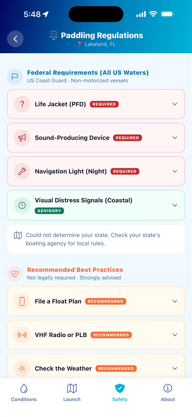
The Safety tab: federal requirements, your state's rules, and recommended best practices — free, no login.
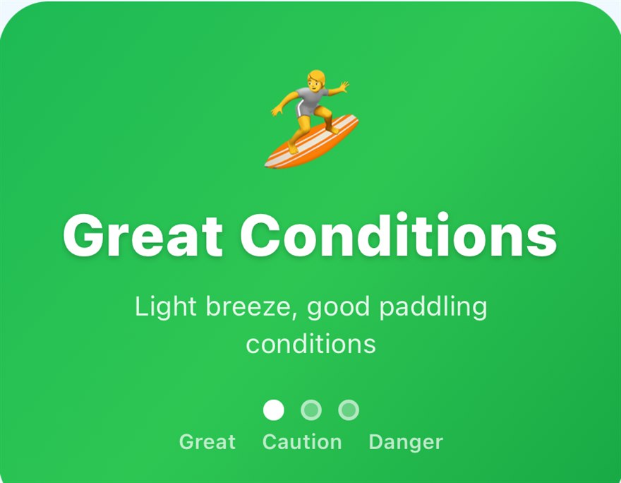
PaddleReady doesn't oversell its math. Tap the Green/Yellow/Red badge and the app tells you plainly what the rating is derived from — public weather, wind and advisory data — and, just as plainly, that it is not a forecast, not a safety system, and not a substitute for official sources. Even a Green can be wrong, and conditions change fast. It's a planning aid, not an oracle, and it never pretends otherwise.
All the data comes from public, authoritative sources, attributed in the app:
NOAA does not endorse this app. Community-submitted hazards and launches are exactly that — community-submitted and unverified. Always confirm conditions with official NOAA marine forecasts and the U.S. Coast Guard, and use your own judgment, before getting on the water.
Get the download link the day it goes live.
Join the launch list Paddle